If you are selling acreage near Brasstown, pretty views alone are not enough. Land buyers often start online, compare several properties before they visit, and want answers about boundaries, access, and buildability early. When your listing gives them that clarity upfront, your property is easier to understand and easier to trust. Let’s dive in.
Why Brasstown acreage needs clarity
Brasstown sits in a mountain setting that draws interest from both local and out-of-area buyers. Clay County highlights the area’s scenic peaks and valleys, along with access to cities like Asheville, Atlanta, Chattanooga, and Knoxville. That means your buyer may be shopping from a distance and deciding which properties are worth the drive.
Online presentation matters even more in that environment. Research shows that many buyers begin their search online, and listing photos are one of the most useful features during that process. For acreage, the takeaway is simple: your listing needs to do more than look good. It needs to explain the land clearly.
Start with survey and boundaries
For acreage, the first job is not marketing. It is making sure you know exactly what you are selling. Clay County’s GIS system is useful for assessment and mapping, but the county says users should verify that information with primary sources.
That is why a current survey or reliable prior plat can be so important. A tax map can help a buyer get oriented, but it is not the same as a survey that confirms corners, lines, and documented access. If you want fewer questions later, start by tightening up this part first.
Why GIS is only a starting point
Clay County notes that parcel data is compiled from deeds, plats, and other public records, but it may not be suitable for every purpose. In plain terms, buyers should not have to guess where one tract ends and another begins. If your listing leans too heavily on a GIS image, it can create confusion instead of confidence.
A cleaner approach is to use GIS as a reference and pair it with recorded documents and survey information. That gives buyers a better picture of what is actually being conveyed. It also helps your listing stand out as organized and credible.
Easements and shared access matter
If your property uses an easement, shared driveway, or utility corridor, that should be identified clearly before the listing goes live. In North Carolina, mapping an easement where it crosses a boundary line is considered land surveying work and must be done by a licensed Professional Land Surveyor. The state also says easements shown on plats or survey descriptions should be tied to verified reference points so they can be retraced later.
For you as a seller, that means access details should be more than a casual explanation. If there is a shared road, private drive, or recorded right-of-way, it helps to have documents and mapping ready. Buyers are far more comfortable when they can see how they legally reach the property.
Confirm road access before launch
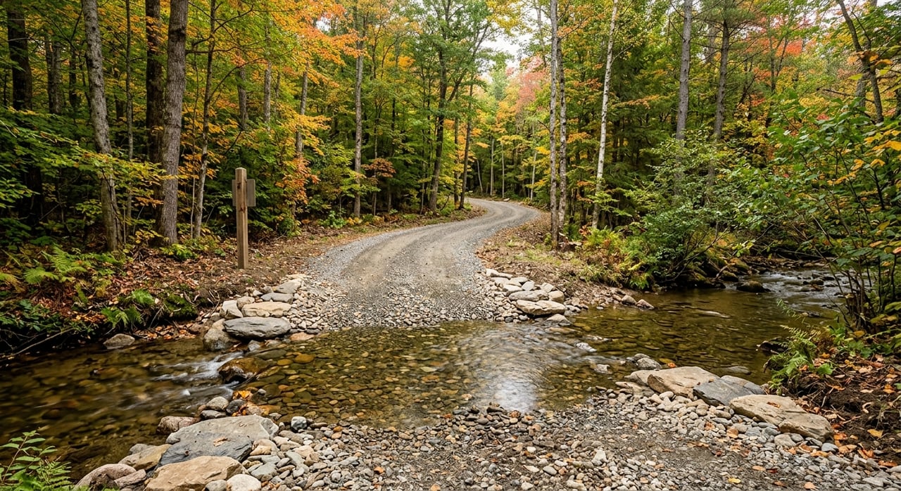
Access can shape a buyer’s decision just as much as views or acreage size. If a tract connects to the state highway system and a driveway must be obtained or modified, the North Carolina Department of Transportation says a driveway permit is required. It also advises early coordination with local land-use authorities and the district engineer.
That does not mean every seller needs a new permit before listing. It does mean you should understand the current access situation and be ready to explain it accurately. If access depends on an easement or a long private road, your listing should show that clearly rather than leaving buyers to interpret a map on their own.
Gather buildability documents early
Many Brasstown-area acreage buyers are not just purchasing land. They are purchasing a future plan. Some are thinking about a full-time home, others a second home, and some want to hold land until they are ready to build.
That is why buildability documents carry so much weight. If you can provide clear records on septic, wells, floodplain status, and recorded plats, you reduce uncertainty and help buyers move forward with better information.
Septic records can answer big questions
Clay County Environmental Health requires permits and approvals for new construction, repairs, alterations, and before building permits are issued. The county also notes that an Improvement Permit is commonly used in real estate transactions, is transferable to a future owner if site conditions do not change, and is valid for five years.
There is one important caution here. A septic application does not guarantee a permit will be issued. So if you are marketing acreage as a future homesite, it is smart to describe what has been approved and avoid making promises beyond the county record.
Well records help reduce uncertainty
Clay County says a permit is required before constructing, repairing, or relocating a private drinking water well. The county’s permit sheet also says the permit is valid for five years. If your property already has well-related records, having those available can make your listing more useful to serious buyers.
Even if the tract is vacant, any existing permit paperwork or water testing history can help answer early questions. That can save time once interest starts coming in. It also signals that the property has been prepared thoughtfully for the market.
Floodplain status should be easy to understand
Floodplain questions can affect a buyer’s plans, especially if the land is being considered for future construction. Clay County says projects in FEMA AE flood zones need a Floodplain Development Permit and a FEMA Elevation Certificate at the time of building-permit application.
If any part of your tract is in a flood-related area, your listing package should explain what is known. Clear information is always better than a vague note that leaves room for worry. Buyers do not expect every tract to be simple, but they do appreciate honesty and documentation.
Use county records to support your listing
The Clay County Register of Deeds is the custodian of real estate records, including deeds, plats, deeds of trust, cancellations, powers of attorney, and other land-related instruments. That makes it a key source for verifying ownership history and locating recorded documents tied to the property.
For sellers, this matters because memory is not a record. If you have an older survey, easement agreement, or deed reference, pulling the official document can make your listing package much stronger. It also helps avoid delays when a buyer wants to verify details quickly.
Helpful documents to collect
A well-prepared acreage listing often includes:
- current deed
- prior survey or recorded plat
- easement documents
- septic permit paperwork, if available
- well permit or water-testing records, if available
- floodplain information, if applicable
- notes on driveway or road access
You may not have every item on day one. Even so, collecting as much as you can before launch usually leads to a smoother marketing process.
Turn land into a clear online product
Acreage can be harder to market than a house because buyers cannot always tell what they are looking at from a few ground-level photos. Trees, slopes, long road frontage, and hidden building areas can be difficult to understand online. That is why presentation matters so much.
Research shows that listing photos are highly influential in online home searches. For land, your goal is not just beauty. Your goal is to help buyers understand the tract fast.
Aerial images make acreage easier to read
Drone and aerial imagery can be especially useful for land listings. Industry guidance notes that large parcels often do not photograph well through traditional methods alone, while aerial images can show terrain, surrounding roads, views, and the overall shape of the property.
For Brasstown acreage, that can be a major advantage. A strong aerial overview can show the entrance, road relationship, ridge lines, cleared spots, streams, or trail areas in a way that standard photos simply cannot.
What your listing package should show
A strong acreage launch package should usually include:
- a current survey or survey-grade map with corners or access points identified
- a clean aerial image showing the tract in context
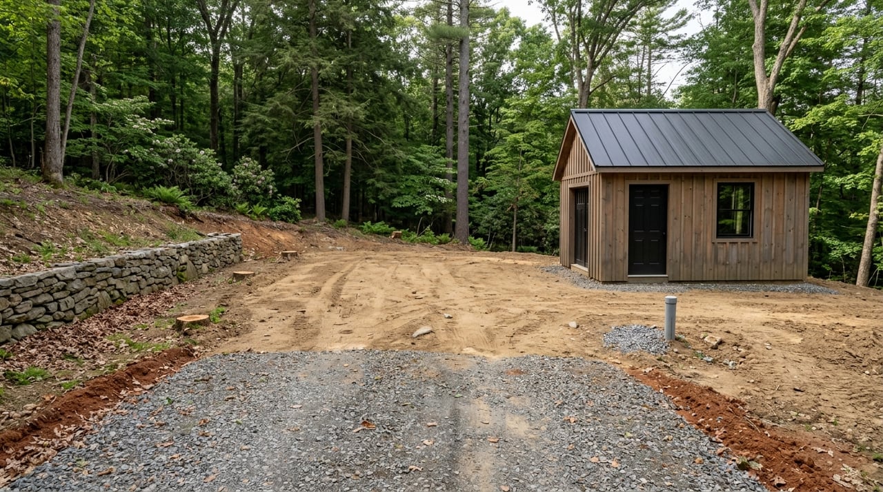
- ground photos of the entrance, driveway, gate, trails, cleared areas, or water features
- a simple annotated map that helps buyers understand the layout
- a clear summary of known septic, well, and floodplain information
This kind of organization helps buyers feel oriented before they ever step onto the property. It also helps your listing answer the questions that would otherwise slow down interest.
Why the first days on market matter
Buyers often rely on saved searches, listing alerts, and social feeds to discover new properties. That makes the first few days after launch especially important. If your acreage listing goes live without clear visuals or basic documents, you may lose attention from the buyers most ready to act.
A polished launch gives you a better chance to make a strong first impression. Instead of updating key information later, you can start with a listing that feels complete, informative, and easy to evaluate. That is especially important in a market where many buyers are shopping remotely.
Brasstown sellers benefit from a local process
Selling land in the Brasstown area often means coordinating information from several places. You may need parcel verification, recorded plats, septic records, well paperwork, floodplain details, or access clarification depending on the tract. That is a lot to manage if you treat it as an afterthought.
A local, full-service approach helps bring those moving parts together into one story a buyer can understand. When your acreage is presented with clear records, useful maps, and strong imagery, it feels less like a question mark and more like an opportunity.
If you are thinking about selling acreage near Brasstown, the best first step is often getting organized before the sign goes up. The more clearly your property is documented and presented, the easier it is for the right buyer to picture the path forward. For help preparing your land for market exposure, connect with the Donna Srabian Team.
FAQs
What documents help when selling acreage near Brasstown?
- Helpful documents often include the current deed, prior survey or plat, easement paperwork, septic records, well records, floodplain information, and notes about road or driveway access.
Why is a survey important for Brasstown land listings?
- A survey can help confirm boundaries, corners, and access details, while Clay County GIS maps are meant as a starting point and should be verified with primary sources.
Can I market Brasstown acreage as buildable without permits?
- You should be careful about that. Clay County Environmental Health notes that an application does not guarantee a septic permit will be issued, so it is best to describe only what has actually been approved.
What should a Brasstown acreage listing include online?
- A strong listing should usually include clear photos, aerial imagery, a map that shows the tract and access, and a summary of known septic, well, and floodplain details.
Do road access issues affect selling land near Brasstown?
- Yes. If access connects to the state highway system and needs to be obtained or changed, NCDOT says a driveway permit is required, and buyers also want private-road or easement access explained clearly.
Why do aerial photos matter for Brasstown acreage?
- Aerial images help buyers understand large parcels, terrain, road placement, and usable areas more quickly than ground photos alone, which is especially helpful for remote buyers shopping online.